
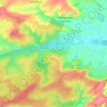
Rouvroy-Ripont topographic map
Interactive map
Click on the map to display elevation.
About this map
Name: Rouvroy-Ripont topographic map, elevation, terrain.
Average elevation: 158 m
Minimum elevation: 119 m
Maximum elevation: 200 m
Other topographic maps
Click on a map to view its topography, its elevation and its terrain.
Charleville
France > Grand Est > Marne > Charleville
Charleville, Épernay, Marne, Grand Est, Metropolitan France, 51120, France
Average elevation: 203 m