
Ohiopyle topographic map
Interactive map
Click on the map to display elevation.
About this map
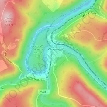
Name: Ohiopyle topographic map, elevation, terrain.
Location: Ohiopyle, Fayette County, Pennsylvania, United States (39.86192 -79.50183 39.87573 -79.48698)
Average elevation: 457 m
Minimum elevation: 338 m
Maximum elevation: 593 m