
Seri Manjung topographic map
Interactive map
Click on the map to display elevation.
About this map
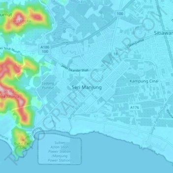
Name: Seri Manjung topographic map, elevation, terrain.
Location: Seri Manjung, Perak, 32040, Malaysia (4.15128 100.61922 4.23128 100.69922)
Average elevation: 22 m
Minimum elevation: -3 m
Maximum elevation: 311 m