
Sendai topographic map
Interactive map
Click on the map to display elevation.
About this map
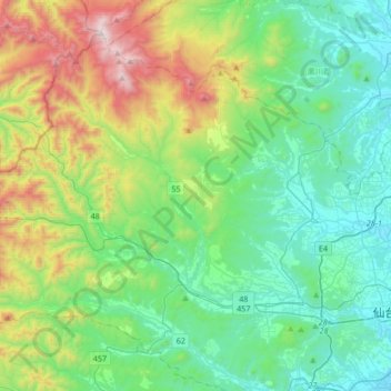
Name: Sendai topographic map, elevation, terrain.
Location: Aoba, Sendai, Miyagi Prefecture, Tohoku, Japan (38.23635 140.56321 38.45470 140.89964)
Average elevation: 396 m
Minimum elevation: 15 m
Maximum elevation: 1,482 m