
Perth Amboy topographic map
Interactive map
Click on the map to display elevation.
About this map
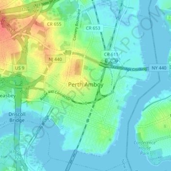
Name: Perth Amboy topographic map, elevation, terrain.
Location: Perth Amboy, Middlesex County, New Jersey, 08861, USA (40.49451 -74.29223 40.54460 -74.24607)
Average elevation: 12 m
Minimum elevation: -3 m
Maximum elevation: 47 m