
Hilutungan Sanctuary topographic map
Interactive map
Click on the map to display elevation.
About this map
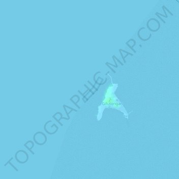
Name: Hilutungan Sanctuary topographic map, elevation, terrain.
Average elevation: 0 m
Minimum elevation: 0 m
Maximum elevation: 4 m
Other topographic maps
Click on a map to view its topography, its elevation and its terrain.
Olango Island
Philippines > Cebu > Lapu-Lapu
Olango Island, Lapu-Lapu, Cebu, Central Visayas, Philippines
Average elevation: 2 m
Mactan
Philippines > Cebu > Lapu-Lapu
Mactan, Lapu-Lapu, Cebu, Central Visayas, Philippines
Average elevation: 3 m
Gilutongan Island
Philippines > Cebu > Lapu-Lapu
Gilutongan Island, Lapu-Lapu, Cebu, Central Visayas, Philippines
Average elevation: 0 m
Sulpa Islet
Philippines > Cebu > Lapu-Lapu
Sulpa Islet, Lapu-Lapu, Cebu, Central Visayas, Philippines
Average elevation: 0 m