
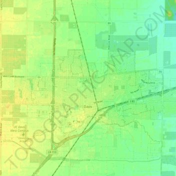
Davis topographic map
Interactive map
Click on the map to display elevation.
About this map
Name: Davis topographic map, elevation, terrain.
Location: Davis, Yolo County, California, United States of America (38.53486 -121.79407 38.57559 -121.67550)
Average elevation: 14 m
Minimum elevation: 3 m
Maximum elevation: 23 m
Davis lies in the Sacramento Valley, the northern portion of the Central Valley, in Northern California, at an elevation of about 52 feet (16 m) above sea level.