
Härjedalens kommun topographic map
Interactive map
Click on the map to display elevation.
About this map
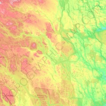
Name: Härjedalens kommun topographic map, elevation, terrain.
Location: Härjedalens kommun, Jämtland County, Sweden (61.56377 12.05614 62.76480 15.42921)
Average elevation: 563 m
Minimum elevation: 158 m
Maximum elevation: 1,681 m