
Binga topographic map
Interactive map
Click on the map to display elevation.
About this map
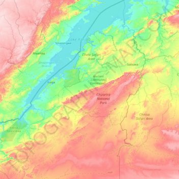
Name: Binga topographic map, elevation, terrain.
Location: Binga, Matabeleland North, Zimbabwe (-18.50771 26.85224 -16.86604 28.25632)
Average elevation: 820 m
Minimum elevation: 480 m
Maximum elevation: 1,426 m