
Overton topographic map
Interactive map
Click on the map to display elevation.
About this map
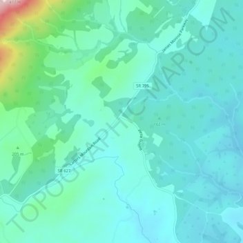
Name: Overton topographic map, elevation, terrain.
Location: Overton, Albemarle County, Virginia, USA (37.93736 -78.48751 37.97736 -78.44751)
Average elevation: 165 m
Minimum elevation: 107 m
Maximum elevation: 441 m