
Labi topographic map
Interactive map
Click on the map to display elevation.
About this map
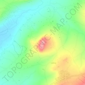
Name: Labi topographic map, elevation, terrain.
Location: Labi, Mbulu, Manyara, Northern Zone, Tanzania (-4.09867 35.18047 -4.09857 35.18057)
Average elevation: 1,894 m
Minimum elevation: 1,843 m
Maximum elevation: 1,972 m
Other topographic maps
Click on a map to view its topography, its elevation and its terrain.