
Caión topographic map
Interactive map
Click on the map to display elevation.
About this map
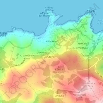
Name: Caión topographic map, elevation, terrain.
Location: Caión, A Laracha, Bergantiños, Galicia, España (43.29815 -8.62439 43.32315 -8.58584)
Average elevation: 109 m
Minimum elevation: -1 m
Maximum elevation: 276 m
Other topographic maps
Click on a map to view its topography, its elevation and its terrain.