
Lantao topographic map
Interactive map
Click on the map to display elevation.
About this map
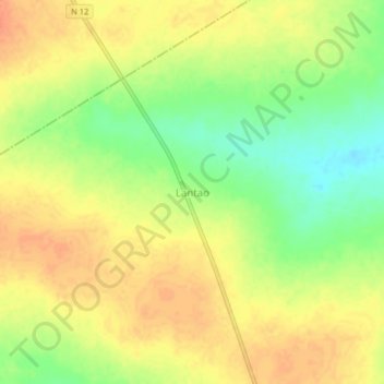
Name: Lantao topographic map, elevation, terrain.
Location: Lantao, Gaoua, Poni, Southwest, Burkina Faso (10.46023 -3.21930 10.50023 -3.17930)
Average elevation: 317 m
Minimum elevation: 290 m
Maximum elevation: 335 m