
Tholey topographic map
Interactive map
Click on the map to display elevation.
About this map
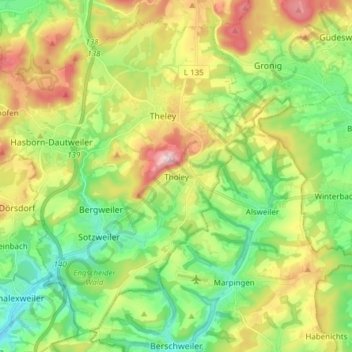
Name: Tholey topographic map, elevation, terrain.
Location: Tholey, Landkreis St. Wendel, Saarland, 66636, Duitsland (49.43667 6.91006 49.52655 7.06264)
Average elevation: 360 m
Minimum elevation: 236 m
Maximum elevation: 567 m