
Barangay 656 topographic map
Interactive map
Click on the map to display elevation.
About this map
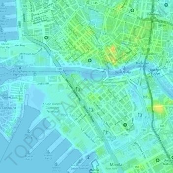
Name: Barangay 656 topographic map, elevation, terrain.
Average elevation: 7 m
Minimum elevation: -3 m
Maximum elevation: 26 m
Other topographic maps
Click on a map to view its topography, its elevation and its terrain.
Barangay 654
Barangay 654, Intramuros, Fifth District, Manila, Metro Manila, 1002, Philippines
Average elevation: 8 m
Barangay 655
Barangay 655, Intramuros, Fifth District, Manila, Metro Manila, 1002, Philippines
Average elevation: 7 m