
White Nile topographic map
Interactive map
Click on the map to display elevation.
About this map
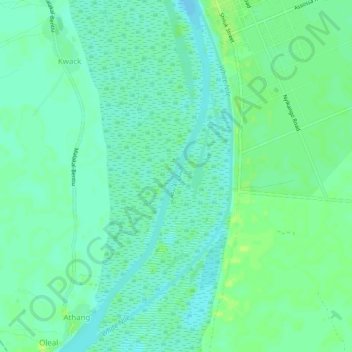
Name: White Nile topographic map, elevation, terrain.
Location: White Nile, Malakal, Upper Nile, South Sudan (9.47221 31.63519 9.52151 31.65397)
Average elevation: 393 m
Minimum elevation: 387 m
Maximum elevation: 401 m
Other topographic maps
Click on a map to view its topography, its elevation and its terrain.