
Al Sadd topographic map
Interactive map
Click on the map to display elevation.
About this map
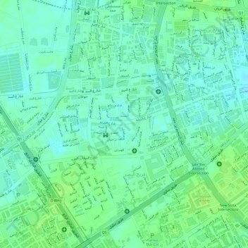
Name: Al Sadd topographic map, elevation, terrain.
Location: Al Sadd, Doha, Qatar (25.27274 51.48926 25.28165 51.50862)
Average elevation: 14 m
Minimum elevation: 7 m
Maximum elevation: 19 m
Other topographic maps
Click on a map to view its topography, its elevation and its terrain.