
Mount Iraya topographic map
Interactive map
Click on the map to display elevation.
Mount Iraya
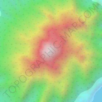
Iraya is a heavily forested stratovolcano, with an elevation of 1,009 metres (3,310 ft) asl, and a base diameter of 5,500 metres (18,000 ft).
About this map
Name: Mount Iraya topographic map, elevation, terrain.
Average elevation: 493 m
Minimum elevation: -1 m
Maximum elevation: 1,007 m