
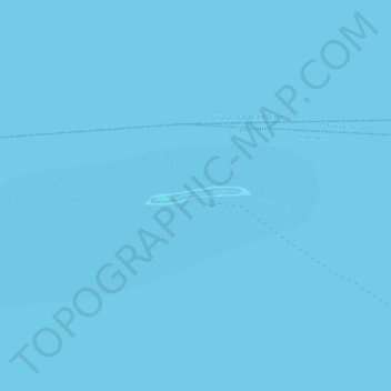
Kalanggaman Island topographic map
Interactive map
Click on the map to display elevation.
About this map
Name: Kalanggaman Island topographic map, elevation, terrain.
Average elevation: 0 m
Minimum elevation: -1 m
Maximum elevation: 2 m
Other topographic maps
Click on a map to view its topography, its elevation and its terrain.
Palompon
Philippines > Leyte > Palompon
Palompon, Leyte 4th District, Leyte, Eastern Visayas, 6538, Philippines
Average elevation: 14 m
Rizal
Philippines > Leyte > Palompon > Rizal
Rizal, Palompon, Leyte 4th District, Leyte, Eastern Visayas, 6538, Philippines
Average elevation: 20 m
Taberna
Philippines > Leyte > Palompon > Taberna
Taberna, Palompon, Leyte 4th District, Leyte, Eastern Visayas, 6538, Philippines
Average elevation: 53 m