
Grashof topographic map
Interactive map
Click on the map to display elevation.
About this map
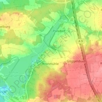
Name: Grashof topographic map, elevation, terrain.
Location: Grashof, Roth, Middle Franconia, Bavaria, 90584, Germany (49.20862 11.18343 49.24862 11.22343)
Average elevation: 399 m
Minimum elevation: 354 m
Maximum elevation: 440 m