
Nketa topographic map
Interactive map
Click on the map to display elevation.
About this map
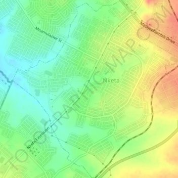
Name: Nketa topographic map, elevation, terrain.
Location: Nketa, Bulawayo Province, Zimbabwe (-20.21893 28.51258 -20.18623 28.54547)
Average elevation: 1,362 m
Minimum elevation: 1,339 m
Maximum elevation: 1,389 m