
Kato topographic map
Interactive map
Click on the map to display elevation.
About this map
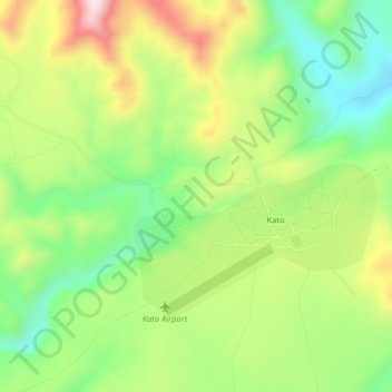
Name: Kato topographic map, elevation, terrain.
Location: Kato, Potaro-Siparuni Region, Potaro-Siparuni, Guyana (4.63936 -59.85197 4.67936 -59.81197)
Average elevation: 700 m
Minimum elevation: 535 m
Maximum elevation: 929 m