
Canejan topographic map
Interactive map
Click on the map to display elevation.
About this map
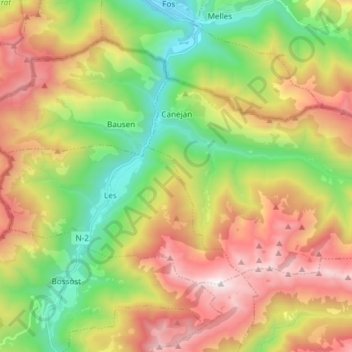
Name: Canejan topographic map, elevation, terrain.
Location: Canejan, Val d'Aran, Lleida, Catalonia, Spain (42.78811 0.72803 42.84895 0.87732)
Average elevation: 1,397 m
Minimum elevation: 539 m
Maximum elevation: 2,504 m