
Pula topographic map
Interactive map
Click on the map to display elevation.
About this map
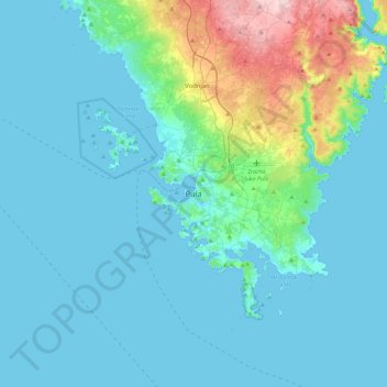
Name: Pula topographic map, elevation, terrain.
Location: Pula, Grad Pula, Istria County, 52100, Croatia (44.71023 13.68553 45.03023 14.00553)
Average elevation: 38 m
Minimum elevation: -2 m
Maximum elevation: 278 m
Other topographic maps
Click on a map to view its topography, its elevation and its terrain.