
Steve Tshwete topographic map
Interactive map
Click on the map to display elevation.
About this map
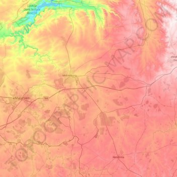
Name: Steve Tshwete topographic map, elevation, terrain.
Location: Steve Tshwete, Nkangala, Mpumalanga, RSA (-26.25388 29.16810 -25.40652 29.87696)
Average elevation: 1,578 m
Minimum elevation: 999 m
Maximum elevation: 2,022 m