
Tabaza topographic map
Interactive map
Click on the map to display elevation.
About this map
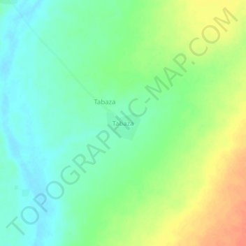
Name: Tabaza topographic map, elevation, terrain.
Location: Tabaza, Gaya, Dosso, Niger (12.52650 3.43304 12.56650 3.47304)
Average elevation: 200 m
Minimum elevation: 183 m
Maximum elevation: 226 m