
Lockes topographic map
Interactive map
Click on the map to display elevation.
About this map
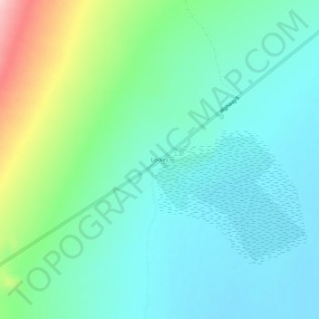
Name: Lockes topographic map, elevation, terrain.
Location: Lockes, Nye County, Nevada, USA (38.53493 -115.79504 38.57493 -115.75504)
Average elevation: 1,487 m
Minimum elevation: 1,441 m
Maximum elevation: 1,634 m