
San Andres topographic map
Interactive map
Click on the map to display elevation.
About this map
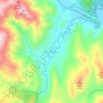
Name: San Andres topographic map, elevation, terrain.
Location: San Andres, Rizal, Calabarzon, Philippines (14.61246 121.32736 14.65246 121.36736)
Average elevation: 409 m
Minimum elevation: 212 m
Maximum elevation: 715 m