
Lindum topographic map
Interactive map
Click on the map to display elevation.
About this map
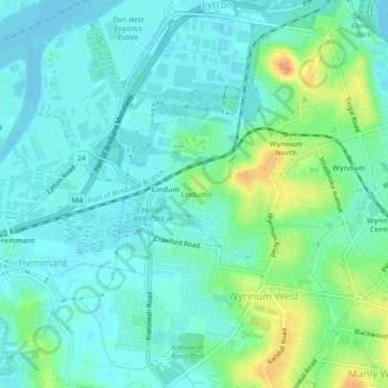
Name: Lindum topographic map, elevation, terrain.
Location: Lindum, Queensland, 4173, Australia (-27.46348 153.12810 -27.42348 153.16810)
Average elevation: 11 m
Minimum elevation: -2 m
Maximum elevation: 38 m