
Marquette topographic map
Interactive map
Click on the map to display elevation.
About this map
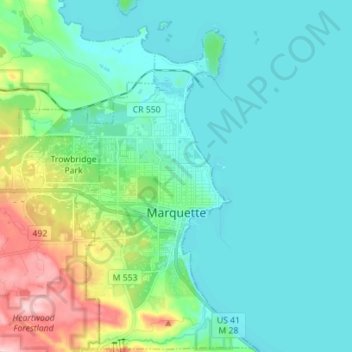
Name: Marquette topographic map, elevation, terrain.
Location: Marquette, Marquette County, Michigan, 49855, USA (46.50515 -87.45905 46.60140 -87.36177)
Average elevation: 215 m
Minimum elevation: 173 m
Maximum elevation: 379 m