
Sector 26 topographic map
Interactive map
Click on the map to display elevation.
About this map
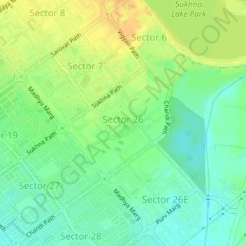
Name: Sector 26 topographic map, elevation, terrain.
Location: Sector 26, Ward 19, Chandigarh, India (30.72345 76.80140 30.73570 76.81527)
Average elevation: 347 m
Minimum elevation: 333 m
Maximum elevation: 363 m