
Verviers topographic map
Interactive map
Click on the map to display elevation.
About this map
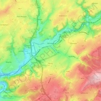
Name: Verviers topographic map, elevation, terrain.
Location: Verviers, Liège, Wallonia, 4800, Belgium (50.54923 5.81304 50.62583 5.92565)
Average elevation: 259 m
Minimum elevation: 136 m
Maximum elevation: 396 m