
Juist topographic map
Interactive map
Click on the map to display elevation.
About this map
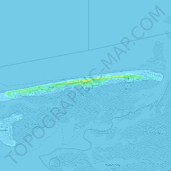
Name: Juist topographic map, elevation, terrain.
Location: Juist, Aurich (arrondissement), Basse-Saxe, 26571, Allemagne (53.66273 6.86500 53.68875 7.10510)
Average elevation: 0 m
Minimum elevation: -4 m
Maximum elevation: 16 m