
Criccieth topographic map
Interactive map
Click on the map to display elevation.
About this map
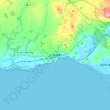
Name: Criccieth topographic map, elevation, terrain.
Location: Criccieth, Gwynedd, Wales, LL52 0AG, United Kingdom (52.88061 -4.27324 52.96061 -4.19324)
Average elevation: 42 m
Minimum elevation: -1 m
Maximum elevation: 264 m