
Westhill topographic map
Interactive map
Click on the map to display elevation.
About this map
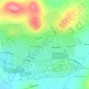
Name: Westhill topographic map, elevation, terrain.
Location: Westhill, Aberdeenshire, Scotland, United Kingdom (57.14383 -2.31460 57.16520 -2.26548)
Average elevation: 141 m
Minimum elevation: 101 m
Maximum elevation: 221 m