
Atega Park topographic map
Interactive map
Click on the map to display elevation.
About this map
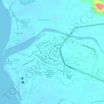
Name: Atega Park topographic map, elevation, terrain.
Location: Atega Park, Cabadbaran, Agusan del Norte, Caraga, Philippines (9.12143 125.53508 9.12244 125.53592)
Average elevation: 8 m
Minimum elevation: -3 m
Maximum elevation: 99 m
Other topographic maps
Click on a map to view its topography, its elevation and its terrain.
Tumipi Spring Resort
Philippines > Agusan del Norte > Cabadbaran > Lusong
Tumipi Spring Resort, Cabadbaran-Lanuza Road, Purok 5, Lusong, Cabadbaran, Agusan del Norte, Caraga, 8605, Philippines
Average elevation: 564 m