
Whitworth Park topographic map
Interactive map
Click on the map to display elevation.
About this map
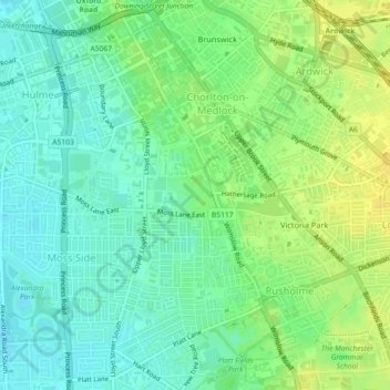
Name: Whitworth Park topographic map, elevation, terrain.
Average elevation: 41 m
Minimum elevation: 31 m
Maximum elevation: 52 m
Other topographic maps
Click on a map to view its topography, its elevation and its terrain.
Vimto Park
United Kingdom > England > Manchester
Vimto Park, City Centre, Manchester, Greater Manchester, North West England, England, United Kingdom
Average elevation: 44 m