
Chitipa topographic map
Interactive map
Click on the map to display elevation.
About this map
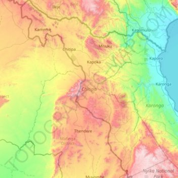
Name: Chitipa topographic map, elevation, terrain.
Location: Chitipa, Northern Region, Malawi (-10.57770 32.94042 -9.36830 33.95914)
Average elevation: 1,182 m
Minimum elevation: 472 m
Maximum elevation: 2,591 m