
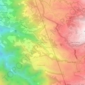
Kilometer 6 topographic map
Interactive map
Click on the map to display elevation.
About this map
Name: Kilometer 6 topographic map, elevation, terrain.
Average elevation: 1,071 m
Minimum elevation: 489 m
Maximum elevation: 1,549 m
Other topographic maps
Click on a map to view its topography, its elevation and its terrain.
Tatangan
Philippines > Benguet > Tadiangan
Tatangan, Tadiangan, Benguet, Cordillera Administrative Region, 2600, Philippines
Average elevation: 989 m