
Samara topographic map
Interactive map
Click on the map to display elevation.
About this map
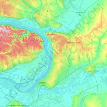
Name: Samara topographic map, elevation, terrain.
Location: Samara, Samara Oblast, Volga Federal District, Russia (53.09167 49.74541 53.55074 50.39039)
Average elevation: 99 m
Minimum elevation: 24 m
Maximum elevation: 374 m