
Putnam County topographic map
Interactive map
Click on the map to display elevation.
About this map
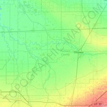
Name: Putnam County topographic map, elevation, terrain.
Location: Putnam County, Ohio, United States (40.85907 -84.39919 41.16783 -83.88042)
Average elevation: 228 m
Minimum elevation: 210 m
Maximum elevation: 282 m