
Lumbang topographic map
Interactive map
Click on the map to display elevation.
About this map
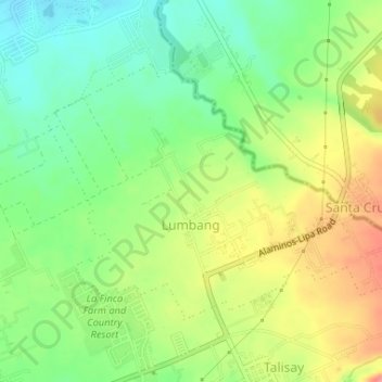
Name: Lumbang topographic map, elevation, terrain.
Location: Lumbang, Lipa, Batangas, Calabarzon, 4217, Philippines (13.97536 121.18653 13.99656 121.21917)
Average elevation: 347 m
Minimum elevation: 310 m
Maximum elevation: 396 m