
Tatay Island topographic map
Interactive map
Click on the map to display elevation.
About this map
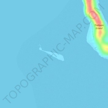
Name: Tatay Island topographic map, elevation, terrain.
Location: Tatay Island, Agutaya, Palawan, Mimaropa, 5320, Philippines (11.42789 120.75680 11.43139 120.76320)
Average elevation: 4 m
Minimum elevation: 0 m
Maximum elevation: 109 m