
Cadiz City Park topographic map
Interactive map
Click on the map to display elevation.
About this map
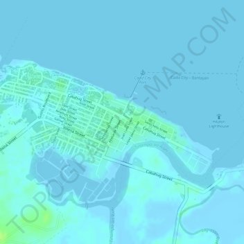
Name: Cadiz City Park topographic map, elevation, terrain.
Average elevation: 2 m
Minimum elevation: -6 m
Maximum elevation: 13 m
Other topographic maps
Click on a map to view its topography, its elevation and its terrain.
Lakawon Island
Philippines > Negros Occidental > Cadiz
Lakawon Island, Cadiz Viejo, Cadiz, Negros Occidental, Western Visayas, Philippines
Average elevation: 0 m
Cadiz
Philippines > Negros Occidental > Cadiz
Cadiz, Negros Occidental, Western Visayas, 6121, Philippines
Average elevation: 68 m
Cadiz
Philippines > Negros Occidental > Cadiz
Cadiz, Negros Occidental, Western Visayas, 6121, Philippines
Average elevation: 116 m