
Lingga topographic map
Interactive map
Click on the map to display elevation.
About this map
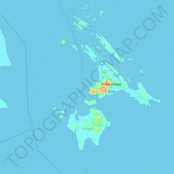
Name: Lingga topographic map, elevation, terrain.
Location: Lingga, Riau Islands, Sumatra, 29872, Indonesia (-0.87051 104.02782 0.51031 105.02151)
Average elevation: 4 m
Minimum elevation: -1 m
Maximum elevation: 986 m
Other topographic maps
Click on a map to view its topography, its elevation and its terrain.