
Sukra topographic map
Interactive map
Click on the map to display elevation.
About this map
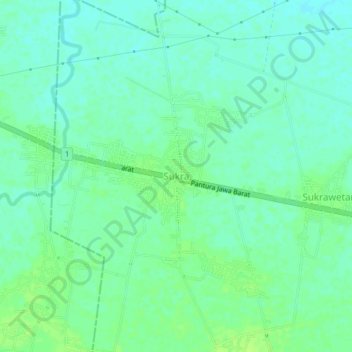
Name: Sukra topographic map, elevation, terrain.
Location: Sukra, Indramayu Regency, West Java, Indonesia (-6.32544 107.91602 -6.28544 107.95602)
Average elevation: 8 m
Minimum elevation: 2 m
Maximum elevation: 14 m