
Santa Rita topographic map
Interactive map
Click on the map to display elevation.
About this map
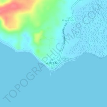
Name: Santa Rita topographic map, elevation, terrain.
Location: Santa Rita, Samar, Eastern Visayas, Philippines (11.44880 124.93978 11.45858 124.94853)
Average elevation: 10 m
Minimum elevation: 0 m
Maximum elevation: 73 m
Other topographic maps
Click on a map to view its topography, its elevation and its terrain.
Camayse
Philippines > Samar > Santa Rita
Camayse, Santa Rita, Samar, Eastern Visayas, Philippines
Average elevation: 12 m