
Kobroor topographic map
Interactive map
Click on the map to display elevation.
About this map
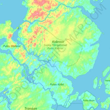
Name: Kobroor topographic map, elevation, terrain.
Location: Kobroor, Maluku, Indonesia (-6.53699 134.11359 -5.91867 134.78358)
Average elevation: 12 m
Minimum elevation: -4 m
Maximum elevation: 77 m
Other topographic maps
Click on a map to view its topography, its elevation and its terrain.