
Tangnan topographic map
Interactive map
Click on the map to display elevation.
About this map
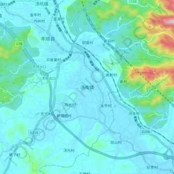
Name: Tangnan topographic map, elevation, terrain.
Location: Tangnan, Fengshun County, Meizhou City, Guangdong, PRC (23.68473 116.15877 23.76473 116.23877)
Average elevation: 61 m
Minimum elevation: 6 m
Maximum elevation: 426 m