
Nangkaan topographic map
Interactive map
Click on the map to display elevation.
About this map
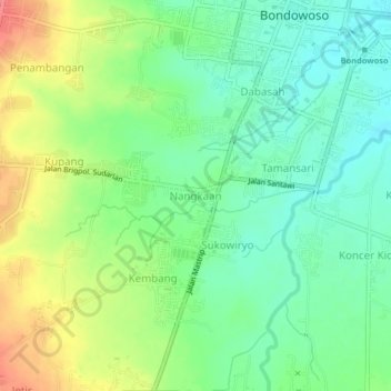
Name: Nangkaan topographic map, elevation, terrain.
Location: Nangkaan, Bondowoso, East Java, 68213, Indonesia (-7.95195 113.79205 -7.91195 113.83205)
Average elevation: 277 m
Minimum elevation: 248 m
Maximum elevation: 325 m